Technology has taken on an increasingly important aspect on board boats, yachts and ships, making most of the weather information and data accessible to everyone via the internet, which once was an exclusive asset accessible only to professionals. We will analyze together the different web sources and, above all, the method of their use based on our many years of operational experience.

Gianfranco Meggiorin – President and Founder of Navimeteo
Now, however, we would like to focus on the importance of direct weather observation, which requires passion, experience and above all curiosity. Firstly, let’s try to imagine not having access to the internet and therefore having to rely only on our observations on board, visual and instrumental. It would be really a mistake to think that all the answers for determining the moment to set sail or the decision of the route to follow can be found on the screen of our computer or smartphone.
There is much more to know, understand and think about. For example, the flow of winds depends on the variations in the atmospheric pressure value, the state of the sea depends on the flow of winds and the cloud systems, fronts and storms depend on the movement of the air masses. I tell you these simple things so that it will convince you that knowing how to observe the weather at sea is one of the important skills of any good sailor. Meteorology is also a deductive path because if I recognize specific types of clouds I can understand which wind is forming them, just as carefully observing the wave motion provides clear indications of the wind that is generating them.
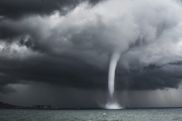
The sea waterspout in the Mediterranean (credit Willy De Masi)
A sailor learns to observe the present by projecting the meteorological outlook further forward in time and space along the route. A motor boat cruising at 15 knots will cover 90 nautical miles (1 NM equals 1,852 km) in just 6 hours, or approximately 167 kilometres away. It is clear that the situation observed at the moment could be totally different down there, after a few hours. This is even more true whenever the weather is evolving or along the routes of the Mediterranean particularly influenced by the effects of turbulence, especially near the coasts, at the passage of capes and in the transit of a canal or a strait.
Just think, for example, about the weather characteristics of the Strait of Bonifacio, Capo Corso, the Gulf of Lion, the Strait of Messina, the Canale d’Otranto or Gibraltar Strait. This is the charm of our Mediterranean Sea, wrongly considered by some to be a large lake, rightly compared by many to a small ocean. It is really important while benefiting from the information on the web, to be able to regain that sensitivity to the marine elements that, too often, fascinated by the colourful views of the wind and waves through the models published on the various websites we have ended up neglecting.
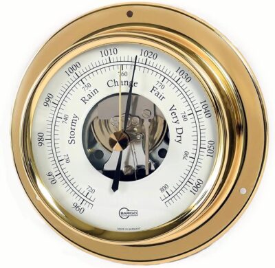
The barometer, a very important on-board instrument (credit Barigo)
The barometer to begin with, how much attention do we devote to the variations in the value of the atmospheric pressure? The barometer, a good friend of sailors since ancient times, is still able to report the evolution of a vast or local phenomenon that could be misidentified even by the most advanced computer. And that high lenticular cloud, with its splendid polished shape shining on a blue sky, is for everyone a precursor of a strong wind? And to give one last example, can that halo around the moon on a warm and welcoming night be associated with the arrival of a warm front that is still far away?
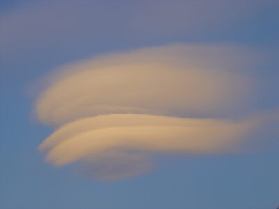
The lenticular high clouds, always indicative of strong wind
This is the incredible fascination of practical meteorology, experienced on board, observed, understood and predicted. Together we will analyze the different situations of the weather at sea, mile after mile, and with simplicity.
Good Navigation!
Gianfranco and Navimeteo Team
Topics: direct weather observation, Navimeteo

